Posted by Chris M Sunday, September 30, 2007

Grassy Cove 2

Late last year I went to Grassy Cove a large valley (more info on that page). I went back and started at the southern end of the trail. However, first I stopped at the head of the Sequatchie Valley. The valley was originally an anticline. The top layer of rock was sandstone (and around the valley still is), but was eroded away at the anticline and limestone was exposed, that erodes very quickly and differently. I created this cartoon below to illustrative it.
Sequatchie Valley

Grassy cove's drainage is connected to the valley underground and the Sequatchie River starts at several springs at the head of the valley. Unfortunately, the spring are on private land and I was unable to see them, however, that may change. These first couple of pictures are of the Sequatchie Valley far up near the head.
Sequatchie Valley Sequatchie Valley

The first 1.5 miles of the trail was on private land and as I reached the top of the mountain I ran into several logging roads and machinery.
Logging Road Logging Machines Logging Machine Logging Machine Logging Machine

The forest was pretty young (20-40 years) but was mostly nut producing oaks (Red, White, Chestnut, Chinkapin) and hickories (Pignut, Shellbark, Shagbark). I sampled a few hickory nuts, although most were the slightly bitter Pignut. While I was eating one, a group of 3 Gray Squirrels surround on me on trees about 15 ft way and made the loudest chattering and the most extreme tail-flicking I have ever seen from squirrels.

The trail also had numerous wildflowers, including several asters and a species of goldenrod. I did find one American Chestnut sprout, but was to short to have any nuts.
Aster Aster Goldenrod American Chestnut

Posted by Chris M Sunday, September 23, 2007

Even more thesis photographs

Here are some more photographs from doing my thesis work I forgot to post before. The first few are images of the streams I worked in and more examples of large woody debris (the last one is really good).
Bettis Branch Mouse Creek Woody debris dam Woody debris dam

I found (almost stepped on) a really nice looking Indian Pipe and a Red Admiral (Vanessa atalanta) while getting to a stream
Indian Pipe Butterfly

Finally, one day I followed a very steep stream several hundred meters and found no suitable location to do a measurement. Instead of going down the way I came, I climbed a nearby ridge and followed it down. It had been a while since I had not been in a cove forest but instead in a nice, open oak-pine forest. This ridge was mostly Chestnut Oak (Quercus montana) and Eastern White Pine (Pinus strobus).
Oak Pine Forest

Posted by Chris M Sunday, September 2, 2007

Playing in the sandbox

Update: The first Accretionary Wedge is up (I am late in posting this)

Clastic Detritus is starting a geology blog carnival (The Accretionary Wedge) with the first subject as "Why do you study geology?". For several days I had been trying to think of some captivating story for why I study what I do. For most important choices we make in life, there is no neat storyline connecting point A to point B. Rather, thousands of little strands of life combine to direct us where we end up at. I did think of one anecdote, though it certainly doesn't completely explain why I study what I do, that provides some illumination.

Sandbox Like most children, I had a sandbox. I can still remember it. I was blue, roughly 1.5 ft x1.5 ft x 8 in, and stood on the back patio of my house, out of the sun under a maple tree. Although I can't recall it ever being fixed, no doubt it had been rebuilt several times as water I poured in the sand rotted the wood, especially the bottom. Buying a new bag of sand every Spring took on a Christmas type significance, at the same time a reminisce of past and the promise of future fun. I am not sure what the normal age was to stop playing in the sand, but I am sure I did it much later than most (perhaps I was 10 or 11 when I stopped?).

However, unlike most kids, I don't remember ever wasting much time on Army Men or castles in my sandbox. Instead I attempted to make replications of real world locations that I had never seen. The fact that I was from a place (Ohio) where glacial drift covered most rocks, except some erratics, helped to make sand a suitable medium. I also loved maps as a child and had not only atlases, but also road maps, city maps, and a DeLorme Gazetteer. Curved road
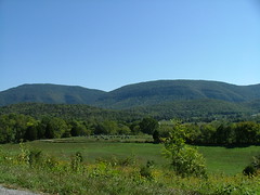
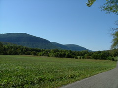
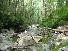
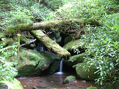
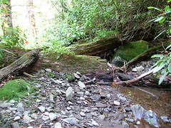
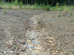
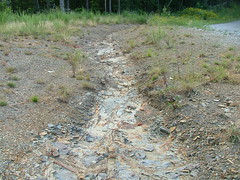
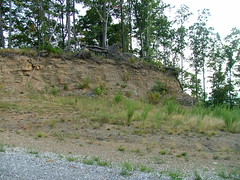
So I would find an interesting location I had never been in my life on a map and try to use the information I had available to make it in my sand box. For example, I might find a location where two roads came together and crossed a stream. Looking back, my goal wasn't really some sort of photo-quality realism, but a view of how this place was now, how that compared to the past, and how humans had interacted with it. Why did the road follow the stream for 50 ft, then turned swiftly away? Was the slope next to the stream too steep for a road or had the settler's horse just decide to turn for no reason? Was the hillside smooth or did rocks stick out like chocolate chips in cookies? Did the stream have little sand bars in it or was it uniform?

Of course, as a 7 year old, I didn't have access to topographic maps or air photographs, but had to use real world examples available to me. The stream in my backyard twists like a rope while the stream down the road was perfectly straight with no curves at all. This steep hillside is rocky while that gradual hillside is not.

In time I learned some of the why for what I had sculpted in my sandbox. That stream was probably so straight because some farmers had made it that way many years ago. I also learned the damaged that had done to the stream.

Fast forward to where I am today. I am a geomorphologist that studies how we affect the landforms and landscapes we live with. Ostensibly I do this so we can learn how to rehabilitate the landscapes we have already scarred and decrease the amount of damage we do to them in the present and the future. However, just as the cosmologists finds a beauty in understanding the workings of a star, I think just understanding how we interacted with the landscape (and how it reacts back) is fun, interesting, and worthy of study in itself. Perhaps I haven't outgrown the sandbox.

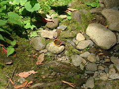
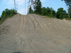
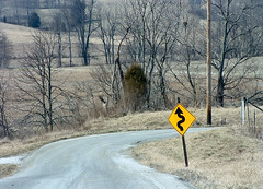
Photographs: Sandbox by JayeClaire; Curved Road by cindy47452

Posted by Chris M Saturday, September 1, 2007

Buffalo Moutain Windfarm

I previously mentioned that I would be helping on a bat mortality study at the Buffalo Mountain Windfarm. Although the study is not yet finished, I have uploaded some photographs I have taken.

The turbines are huge (260 ft tall, the blades are 135 ft long) and there are 18 of them along the mountain. The mountain is >3300 ft in elevation with occasional views of the surrounding mountains (although most have been coal mined).
Buffalo Mountain Wind Turbine Buffalo Mountain Wind Turbine 2 Buffalo Mountain Wind Turbines Fog and turbines Buffalo Mountain View

The dead bats we are looking for are pretty small (bodies 1-2 in in length). Here is a dead, I think, Little Brown (it may be Eastern Pipistrelle).
Dead Bat

Finally, this mountain, and the surround region, has taken multiple hits. In the past it has been coal mined and there are old coal benches everywhere. Now, part of the mountain is the WIndrock ATV area, that is also extremely damaging the mountain. The first two are a eroded gully on the mountain top, the third an old bench, and the last two are current ATV trails (there are much worse ATV trails, these images turned out the best.... we where driving when they were taken).
Gully Gully Buffalo Mountain Coal Bench WIndrock WIndrock