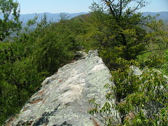
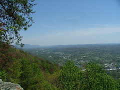
Last fall I went to hike on the Cumberland Trail on Cumberland Mountain. Tuesday, I went back, this time hiking the east end. I thought I would try to explain the some of the geology (god knows I don't understand that much either). Cumberland Mt is a strike ridge and is the backside of the Pine Mountain thrust plate, whose front is about 10 miles to the northwest. On the image below I have added a dark line on the front and back of the plate. At Cumberland Mt, the rock is nearly vertical, as will be seen in my first photograph, so there is a quick transition from the mountain to the flat Powell RIver valley. Geology nerds can read more at (Smalley, 1985).
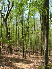
The trail is steep and rock and is not helped by those nearly vertical rocks. The forest is a pretty young (< 30 years) Maple-Beech forest and is replacing the pioneering Pitch and Virginia Pines.
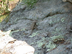
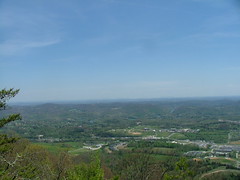
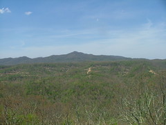
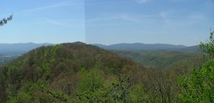
I also same several Eastern Fence Lizards. However, the most spectacular things are the views, not only of the Powell Valley below, but also Norris Lake (TVA lake), and the mountains to the northwest.
Subscribe to:
Post Comments (Atom)

0 comments:
Post a Comment